Spatial Computing
Spatial information is present everywhere. The study of complex data requires multiple facets, of which the geographical space (where something takes place) is one of the most important. This often results in the publication of a dataset or the publication of a map. [Sentence to be added here once Dutch original is revised]. Logical reasoning about this data in complex systems also plays a relevant part.
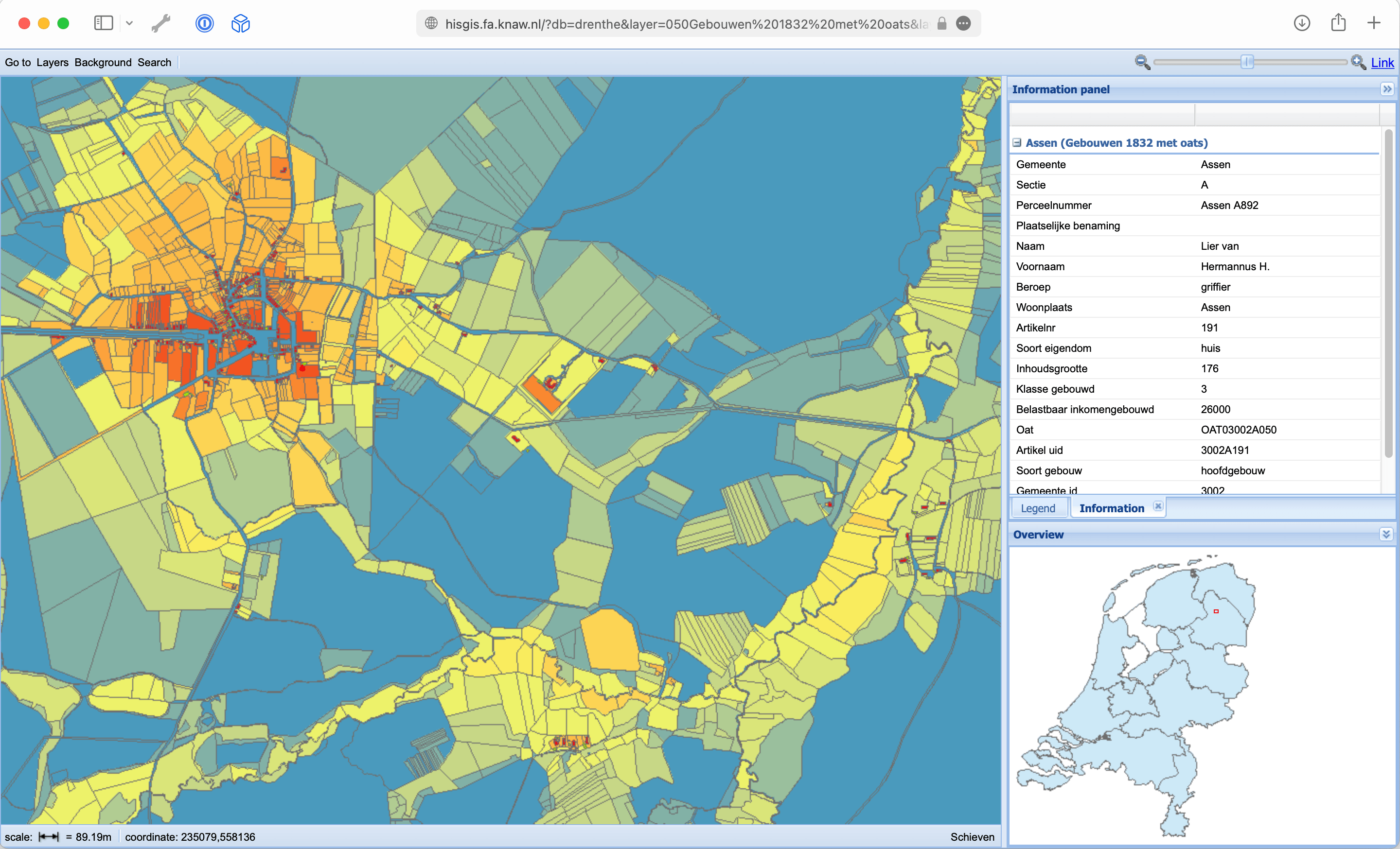
One of our important tools is HisGIS which is our first choice for a digital infrastructure for working with fine-grained spatial data such as individual parcels of land. The project aims to unlock the first historical original land register of the Netherlands, also known as the Napoleonic land register, in all its facets (socio-economic value, property as an expression of power, spatially accurate reconstruction of the natural and cultural landscape, etc.). With this project, we have had experience since the 1990s in using volunteers on a broad basis to create the necessary research infrastructure.
We use semantic technology to transform data from maps to an interactive and dynamic data portal. To do this, we often use OpenStreetMap as a technical platform, which we can deploy separately from HisGIS on a case by case basis, so that a project can build its own data-graph if required. What we contribute above all is experience in translating geographical concepts and entities into the most appropriate technical (data) structures, so that the goals of a project can be achieved as efficiently as possible.
In addition to a broad historical scope, we do not limit ourselves to the current national borders of the Netherlands. One of our most important projects is our ongoing cooperation with the World Historical Gazetteer (WHG). In this way, we want to contribute to making geographic information accessible across time and space.
Contact
Thomas Vermaut, Lead developer for Team Geo (Pure, ORCID)
Related Research Projects
- HisGIS Netherlands His** stands for historical and GIS* for Geographic Information System. HisGIS is a digital package for processing spatial information.
- World Historical Gazetteer (WHG) We contributed to the technical development of v2 of the gazetteer, and in particular also to the Dutch Global History collection for which we prepared and curated a variety of datasets.
- Name to-be-added (2021-2022). In collaboration with Mark Raat and the Amsterdam City Archive, this project is a continuation of the House Number project within the Amsterdam Time Machine.
Software and Data
- HisGIS Netherlands His** stands for historical and GIS* for Geographic Information System. HisGIS is a digital package for processing spatial information.
- Historical Atlas of the Low Countries, 1350-1800 and the '(Re)counting the Uncounted' project NWO Replication Studies, (PI: Rombert Stapel), for which DI developed a QGIS plugin to simplify the linking of (census) data to GIS maps.
- IISH Data Collection.
- Data and extended blogpost (2021).
Publications and Presentations
- Bosse, A. Place (2019). In Reassembling the Republic of Letters in the Digital Age: Standards, Systems, Scholarship. Hotson, H. & Wallnig, T. (eds.). Göttingen University Press, p. 79-96.
- Damen, MJM; Drukker, D; Feikens, JJ; Jongepier, I; Mol, J; Overlaet, K; Oostindiër, AE; Stapel, R & Vermaut, T. Hertogdom Brabant (2021) In hertogdombrabant.nl
- Mol, JA; Feikens, JJ; Vermaut, T & van der Meer, P. HisGIS 1832 Kustzone Zuid-Holland (2020). hisgis.nl/kaartviewer/zuid-holland
- Mol, JA; Feikens, JJ; Vermaut, T & van der Meer, P. HisGIS Kustzone Noord-Holland met Haarlem, Alkmaar en Medemblik (2021) In De kadastrale data voor de kustzone van Noord-Holland werd ontsloten via hisgis.nl/projecten/noord-holland.
- Mol, JA; Hartmann, J; Raat, M; Vermaut, T; Boonstra, B; Delfstra, T; de Haan, P. HISGIS Dokkum (2017) hisgis.nl/projecten/dokkum.
- Mol, JA; Vermaut, T; Raat, M; Boonstra, B; Hartmann J. Fryske. Stêden Time Machine (2019).
- Noordegraaf, J; van Erp, M; Zijdeman, RL; Raat, M; van Oort, T; Zandhuis, I; Vermaut, T; Mol, H; van der Sijs, N; Doreleijers, K; Baptist, V; Vrielink, C; Assendelft, B; Rasterhoff, C & Kisjes, I. Semantic Deep Mapping in the Amsterdam Time Machine: Viewing Late 19th- and Early 20th-Century Theatre and Cinema Culture Through the Lens of Language Use and Socio-Economic Status (2021). In F. Niebling, S. Münster, & H. Messemer (editors), Research and Education in Urban History in the Age of Digital Libraries (Vol. 1501, blz. 191-212). (Communications in Computer and Information Science; Vol. 1501). Springer.
- Oostindiër, A.E. and Stapel, R.J. Demographic Shifts and the Politics of Taxation in the Making of Fifteenth-Century Brabant (2022), In Damen, M.J.M. and Overlaet, K. (eds.) Constructing and Representing Territory in Late Medieval and Early Modern Europe. Amsterdam: AUP, pp. 141–178.
- Stapel, R.J. Historical Multimodal Transport Networks in East Asia. Modelling Historical Transport Times Using GIS and Chinese Travel Documents (2021). In European Association for Digital Humanities 2020-2021, Krasnoyarsk.
- Stapel, R.J. Reconstructie van de Grote Waard, 1421 (2021) In Holland: historisch tijdschrift, 53(2), pp. 69–73.
- Stapel, RJ. Duchy of Brabant GIS Collection (2020). In (IISH Data Collection 2020-2021)
- Vermaut, T; Raat, M; Mol, H; van der Sijs, N; van Erp M; Doreleijers K et al. CLARIAH Research Pilot Final report: Amsterdam Time Machine (2019).